Hiking Max Patch
One of our very favorite hiking spots is Max Patch.
Tom and Rebecca Rating
Excellent! Excellent! Excellent!
Hikes are Moderate to Easy
There is something for everyone
Easy Access to Trails
Great Fishing Pond
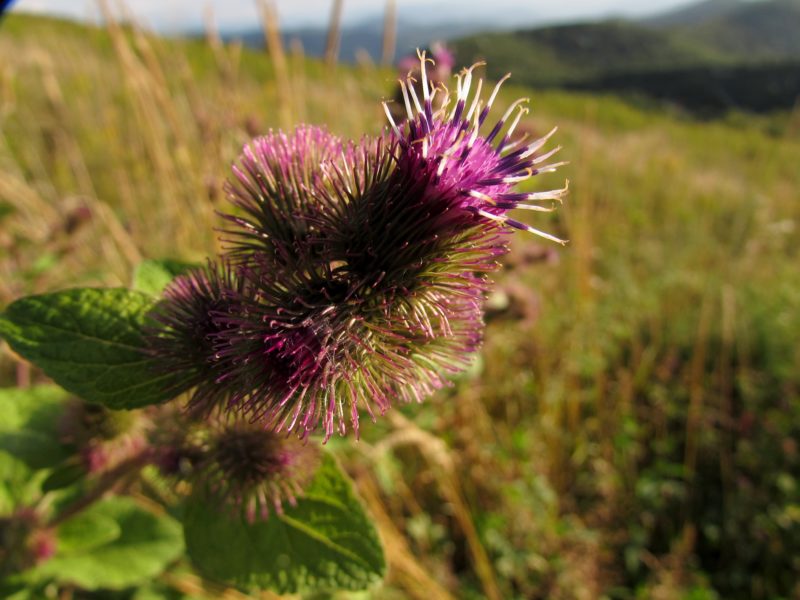
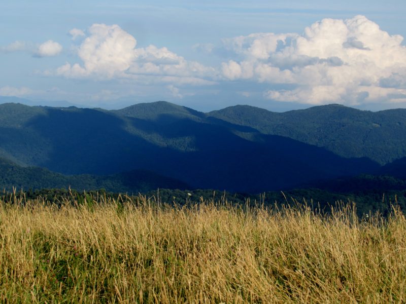
Max Patch is one of the most popular hiking areas in our region. It is a large bald that offers spectacular views. The Appalachian Trail runs right across the top. It is a nice hike from Max Patch to Lemon Gap if you have 2 vehicles. It is possible to hike from Max Patch to Dancing Sun Cabins. Talk with Tom and Rebecca about those directions. It is a great place to watch the sunset and the moon rise.
One of our most incredible things is to hike to the top on a day when the moon is almost full. The night just before a full moon is when the sun sets and the moon rises. Here is link that allows you to determine the times of the sunset and moon rise for our area.
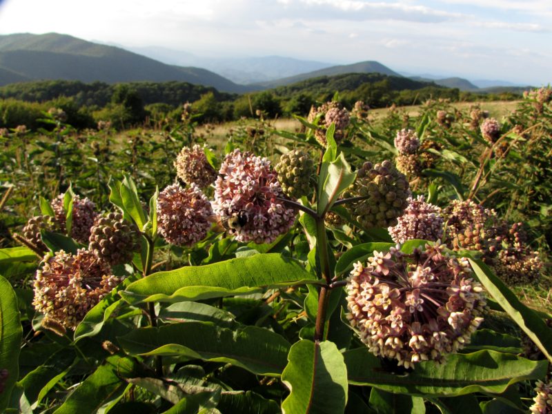
From the parking lot, there are several trail choices. You can walk around the base of the mountain and then up to the top for an incredible 360 degree view. You can also walk on a trail called Buckeye Ridge. This trail goes further along the base come out at the pond below Max Patch. It runs from the Pond around the base of the mountain and comes out on Max Patch Road. Buckeye Ridge is used by horses and llamas.
Autumn Hiking
Directions
Driving Directions to Max Patch:
It takes about 20 minutes to drive up to Max Patch from Dancing Sun Cabins. Go to the end of Roaring Fork Road and turn Right onto Meadow Fork Road. Proceed until you see a brown sign pointing to the Right. Turn Right on Little Creek Road toward Max Patch. Stay to the Left at the first fork and go until you come to a
“T” intersection. You will see a sign pointing Right to Max Patch. Turn right on Max Patch Road. You will come to the parking lot on the right. The pond is beyond the parking lot.


